Late on March 31st we had a quite a storm with winds approaching 80 km/hour overnight. Another major storm mid-week. I guess we need to class this as March going out like a lion.
Daily pictures from this week below.
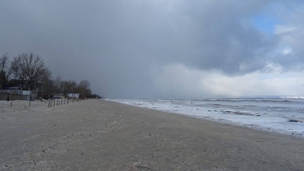
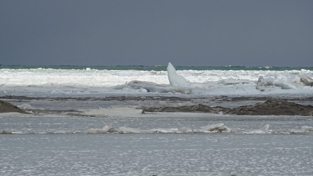
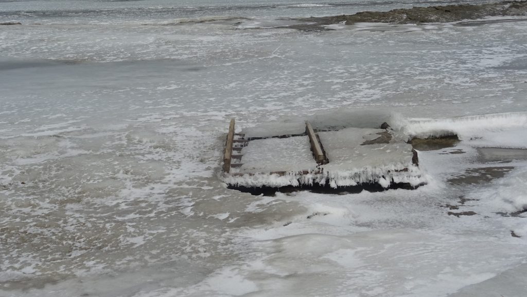
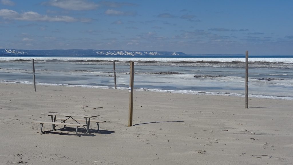
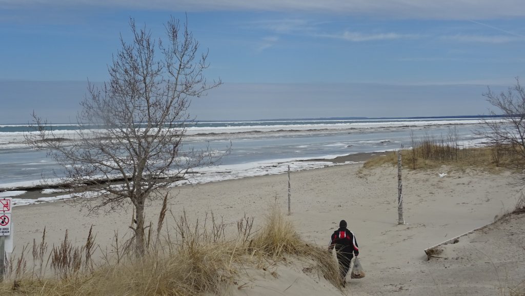
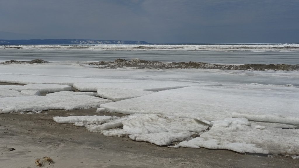
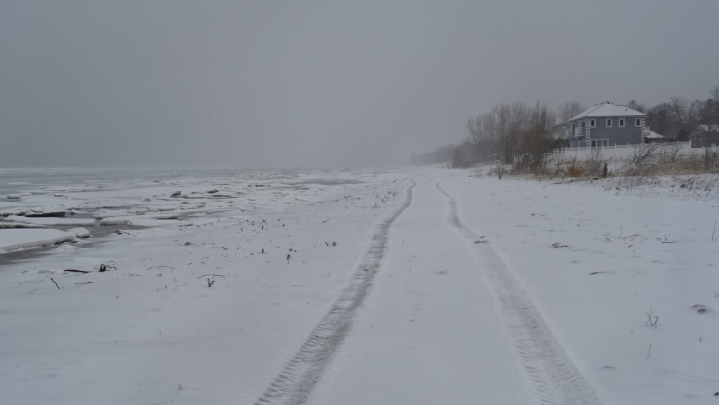
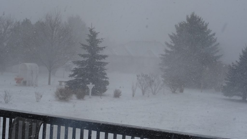
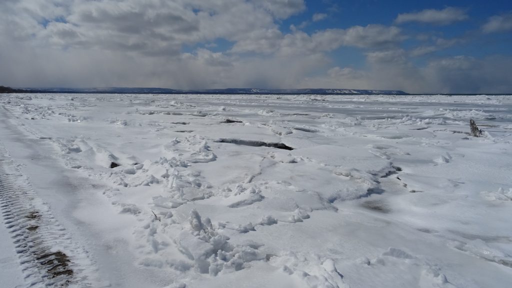
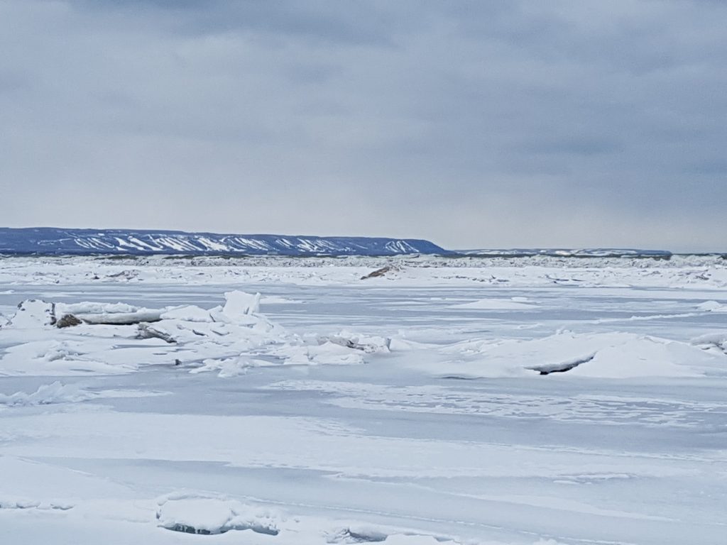
Sunday, April 1st, 2018 – I entered the beach at 18th street with snow squalls to the west. The beach itself was clear and easy to walk on.Sunday, April 1st, 2018 – Looking across the ice. Snow bearing clouds on the horizon. You can see open water in places filling cracks between melting chunks of ice close to shore.Sunday, April 1st, 2018 – this picture captures the daily disruption. Note the shard of ice standing vertically out toward the edge of the ice. This is new since yesterday and speaks to the strong forces from north west winds causing the ice to buckle.Sunday, April 1st, 2018 – A new feature – I suspect this was here before, but movements in the ice exposed it – A set of stairs swept away from somewhere on Georgian Bay.Monday, April 2nd, 2018 – note the damage to ice on shore from more strong winds overnight. With sunny skies the sand warms up and causes the ice to melt along the shoreline.Monday, April 2nd, 2018 – Spring is in the air. Looking across the beach toward Blue Mountain from the volleyball nets at Beach One.Tuesday, April 3rd, 2018 – Starting my walk at 18th street perched high on a dune. Looking north east toward Christian Island.Tuesday, April 3rd, 2018 – the ice is retreating from shore, but it is still plenty cold. There is slightly more ice than there was on this same date last year.Wednesday, April 4th. 2018 – walking down the beach at noon before the weather got nasty really nasty late Friday. Following a tractor that was wondering up and down the beach. I’m not sure what they were doing, perhaps looking for debris. Cold north winds, but nothing like later in the afternoon.Wednesday, April 4th. 2018 – the view from our back deck late afternoon as the winds and snow picked up. I made the mistake of heading out late afternoon for an errand, and it was a mistake – definitely the most dangerous road conditions I’ve every seen. This is the afternoon of the 39 car pile-up on Hwy 400 in Barrie.
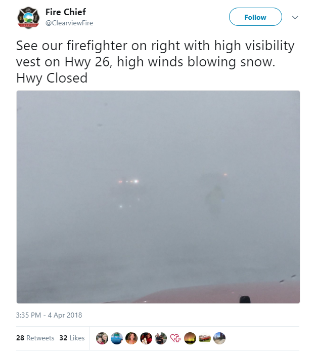
The tweet below from Clearview Fire Rescue shows the condition of Hwy 26 between Barrie and Wasaga Beach. The highway was closed for a few hours because it was just impassible.
I had hoped to swing by the beach and get a picture during the storm, but I was a little too spooked after nearly going off the road. I decided to head straight for home.
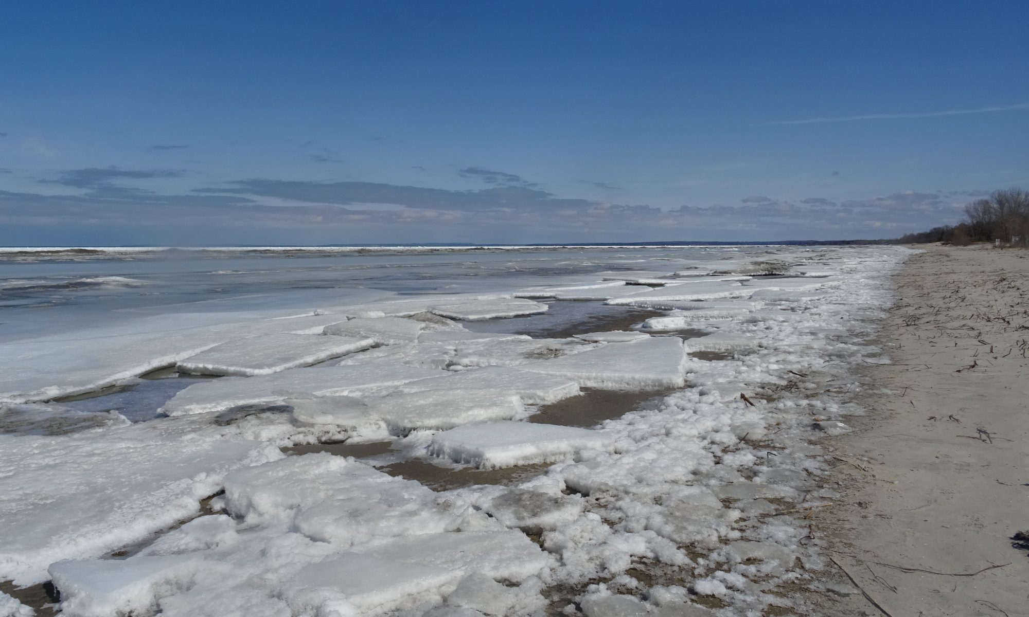
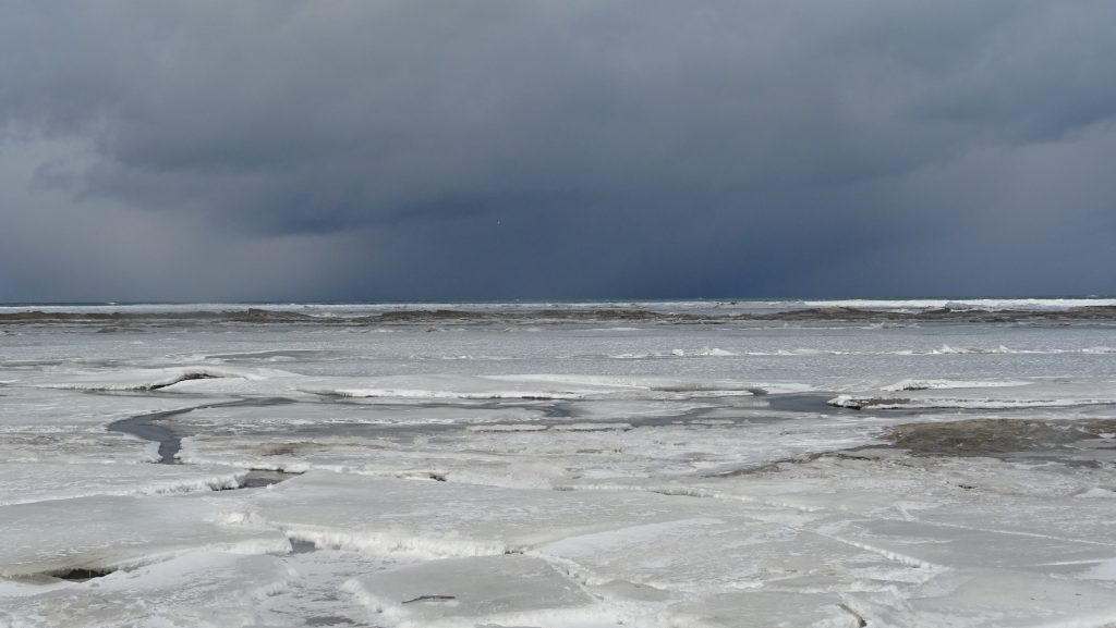
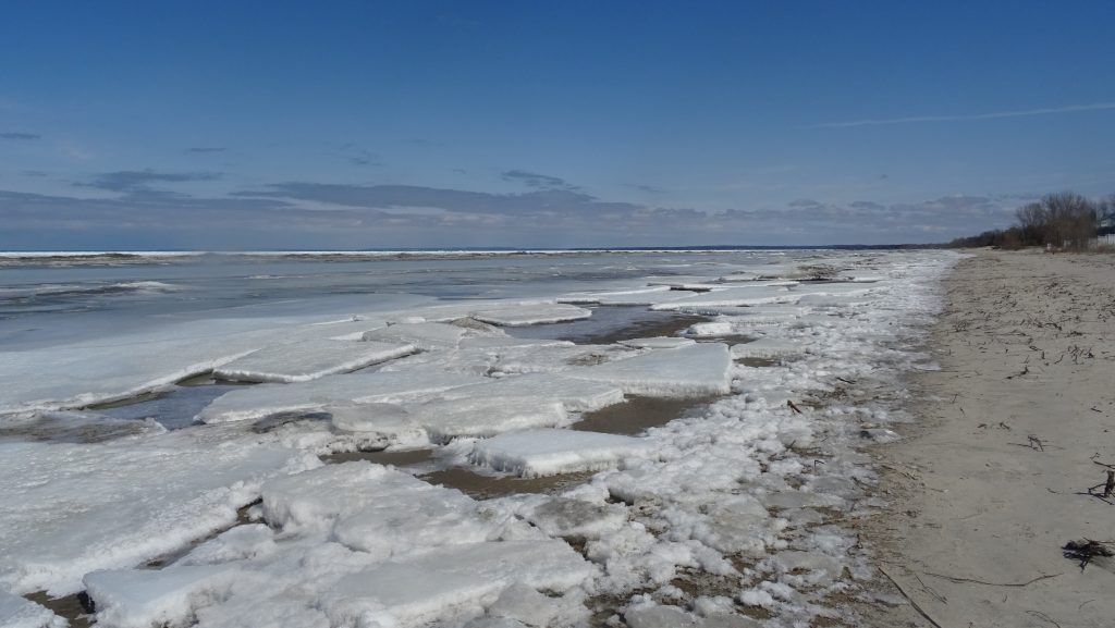
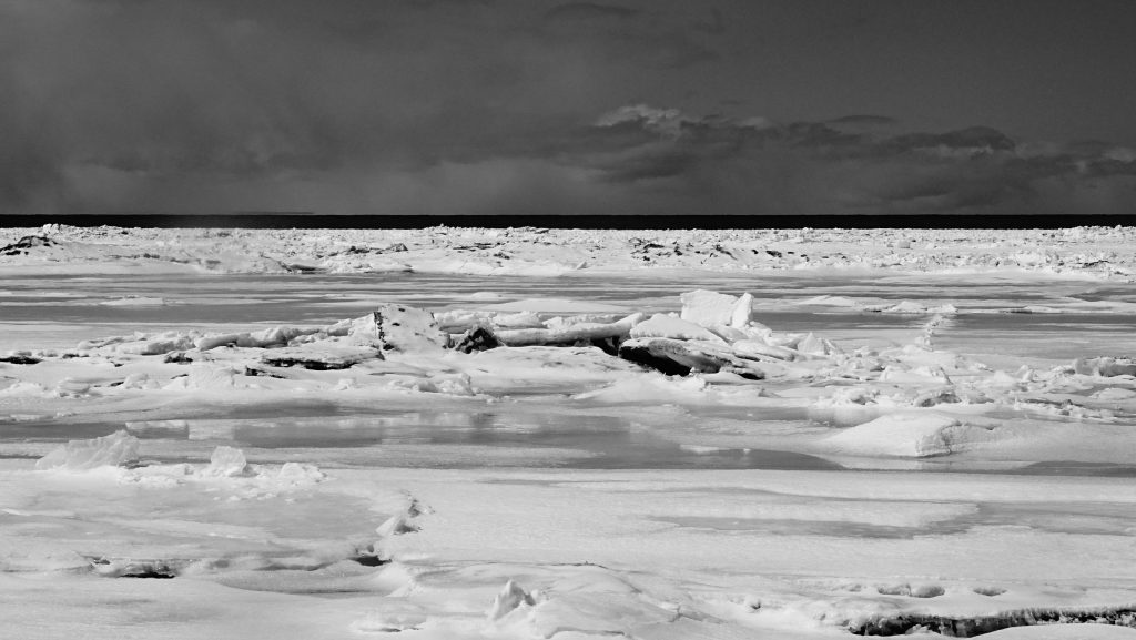
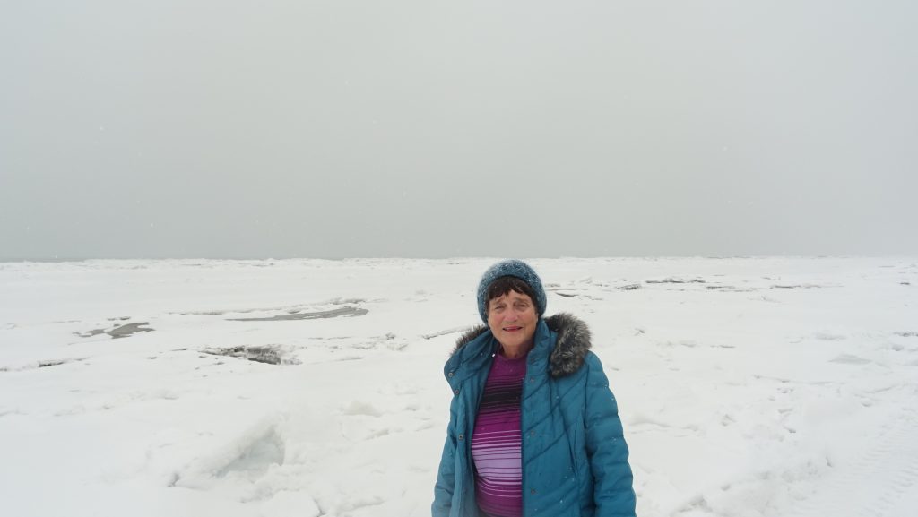
Thursday, April 5th. 2018 – After the storm yesterday the ice was even more disrupted. In places, the is 20 feet closer to the shore than yesterday.Thursday, April 5th. 2018 – I need to call this the “calm after the storm” – the ice even more of a mess. It was frozen enough to walk on again, but the footing was treacherous.Friday, April 6th, 2018 – Mom and Dad are back from Florida for the season and Mom joined me Friday for a snowy walk down the beach. The winds had swung around and were coming from the south making for a much more pleasant day.Saturday, April 7th, 2018 – Unfortunately the quality of the photo is not very good, but if you look closely you can see large whitecaps out beyond the edge of the ice. The ice closer to shore continues to buckle as it is pushed toward the beach by the waves. You can see a larger berm forming at the edge of the ice (now closer) as waves continue to crash up.
These pictures from early April 2017 (almost exactly a year ago) show how this winter is different. We’re going to be a week or two later getting rid of the ice.