| Sun | Mon | Tue | Wed | Thu | Fri | Sat | |
|---|---|---|---|---|---|---|---|
| Jan 29 | Jan 30 | Jan 31 | Feb 01 | Feb 02 | Feb 03 | Feb 04 | |
| High | -4 | -6 | -2 | 0 | -4 | -2 | -2 |
| Low | -8 | -12 | -10 | -5 | -6 | -7 | -7 |
It’s good to be home and back into my daily routine.
Following my trip to Denver, we’re back to a more seasonal weather pattern.
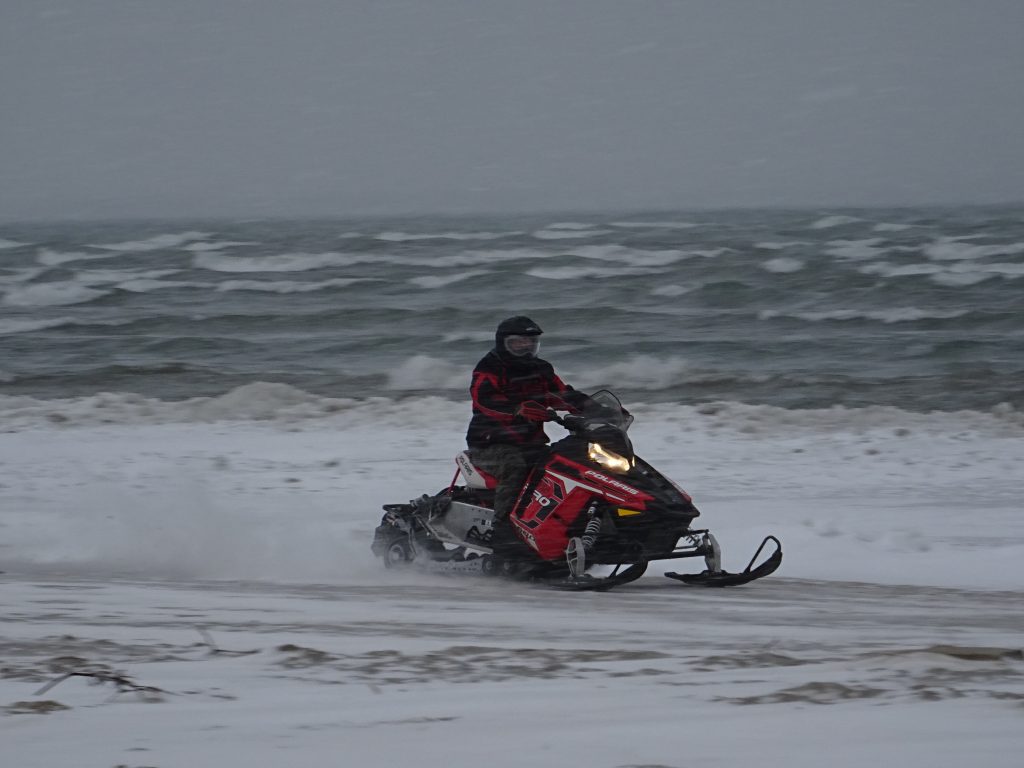
We’re getting snow pretty much every day again so the snowmobilers are definitely happy.
This time of year I see more people on the beach driving snowmobiles than walking. It’s well below freezing every day, but with the wind so high it is tough for ice to form on the lake.
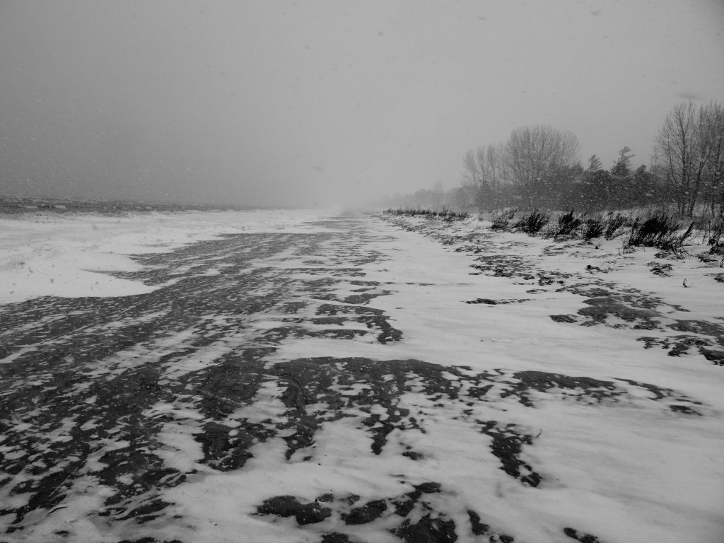
The picture below taken on Sunday January 29th.
It’s actually perfect weather for walking on the beach. As you can see below, the beach is swept clean by the wind and the sand is frozen solid but not ice covered. You can see snow squalls off in the distance toward beach one in the distance. The photo below also taken on January 29th. As long as you dress in layers it’s very pleasant.
On Monday January 30th I took a different route, walking from my house to beach 5 and then heading west to beach 6. We live just south of one of the Wasaga Sands dunes (the one I showed last week), so I climbed the hill and took a few pictures below.
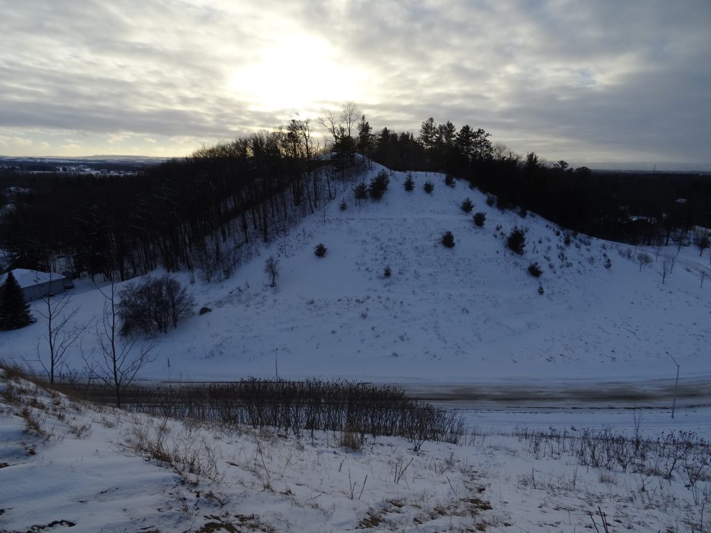
The picture above is looking to the next dune to the west. One of my neighbors (who I have yet to meet) has a beautiful home on top of the dune over with an awesome view of Georgian Bay and points all around as you can see. His road up the hill has a switch back, and even so I sometimes wonder how he gets up there in the winter.
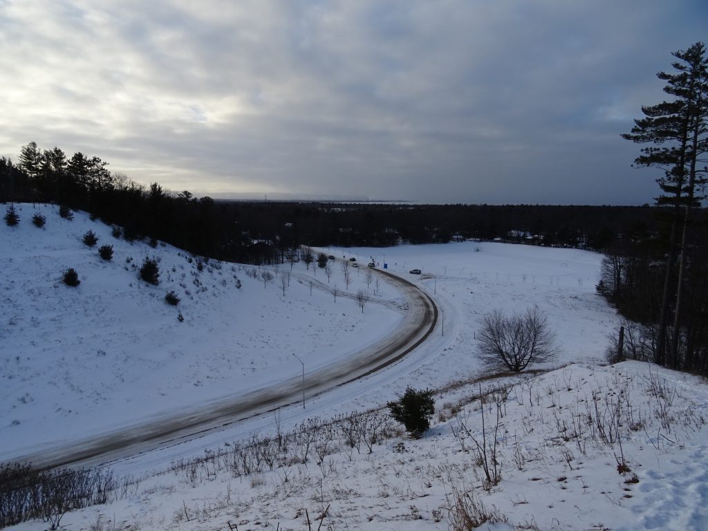
The picture below taken from the same dune looking to the northwest. You can see a popular sliding hill below with Georgian Bay and the Blue Mountains far in the distance.
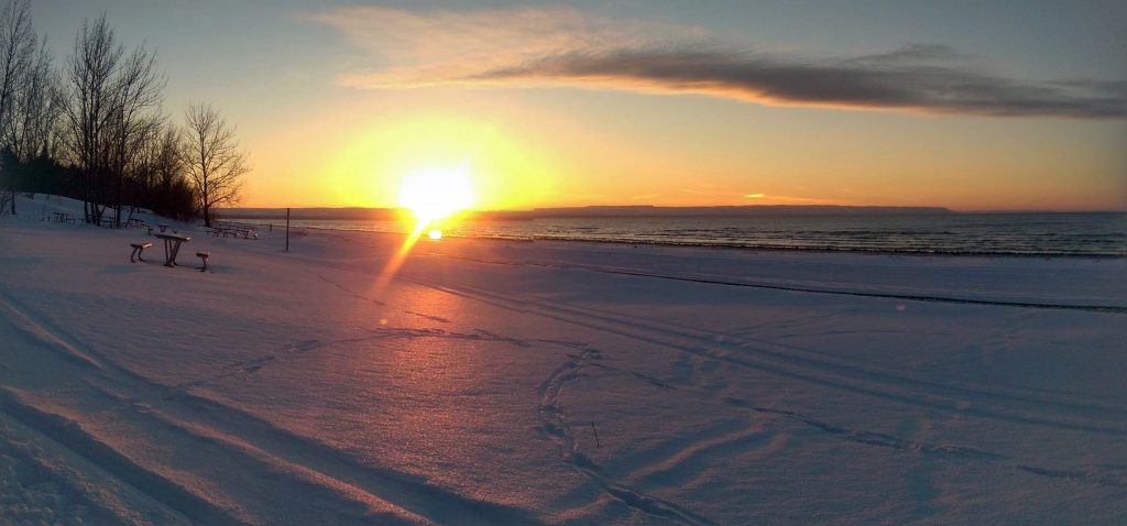
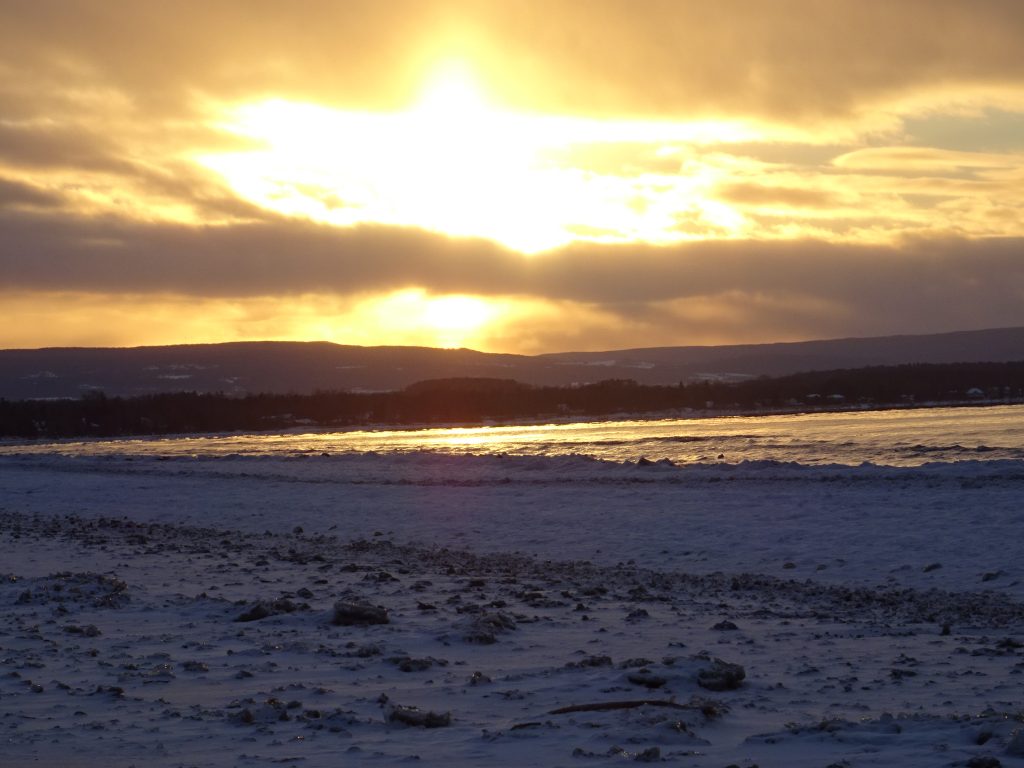
By the time I got down to the beach (below) and started walking west to beach 6, the clouds were clearing on the horizon and it was a beautiful sunset. I don’t usually take this route, but lots to see at this end of the beach as well.
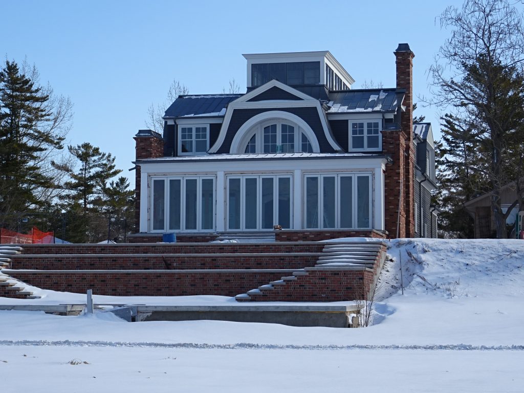
On January 31st the weather was crisp but clear and I was walking my more regular route from beach three to beach one (below). I noticed that the patio doors are now fully installed in my favorite house. This apparently happened sometime over the last 48 hours.
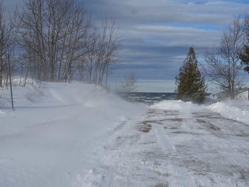
February 1st (below) was really neat. The winds were high from the north, but at just slightly before freezing it was surprisingly pleasant. I managed to get to the beach when things were clear. We had snow squalls for much of the day. The picture below taken at my usual entry point to the beach at 18th street north. The snow was drifting across the beach.
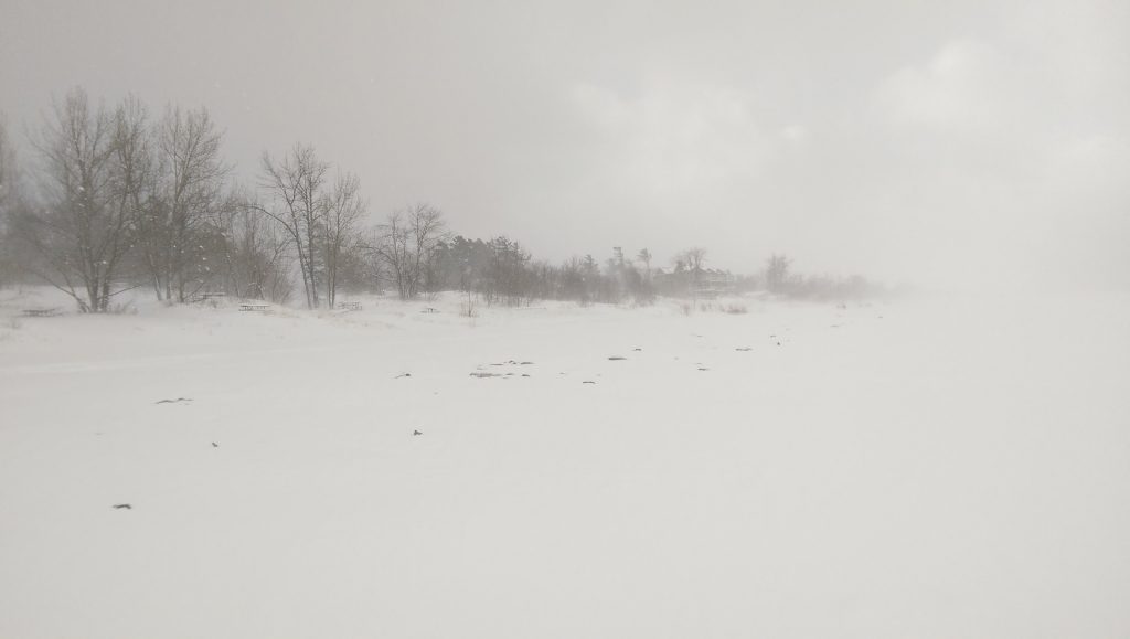
We had more snow overnight and early in the morning, but the beach was still surprisingly clear. Easy day for walking.
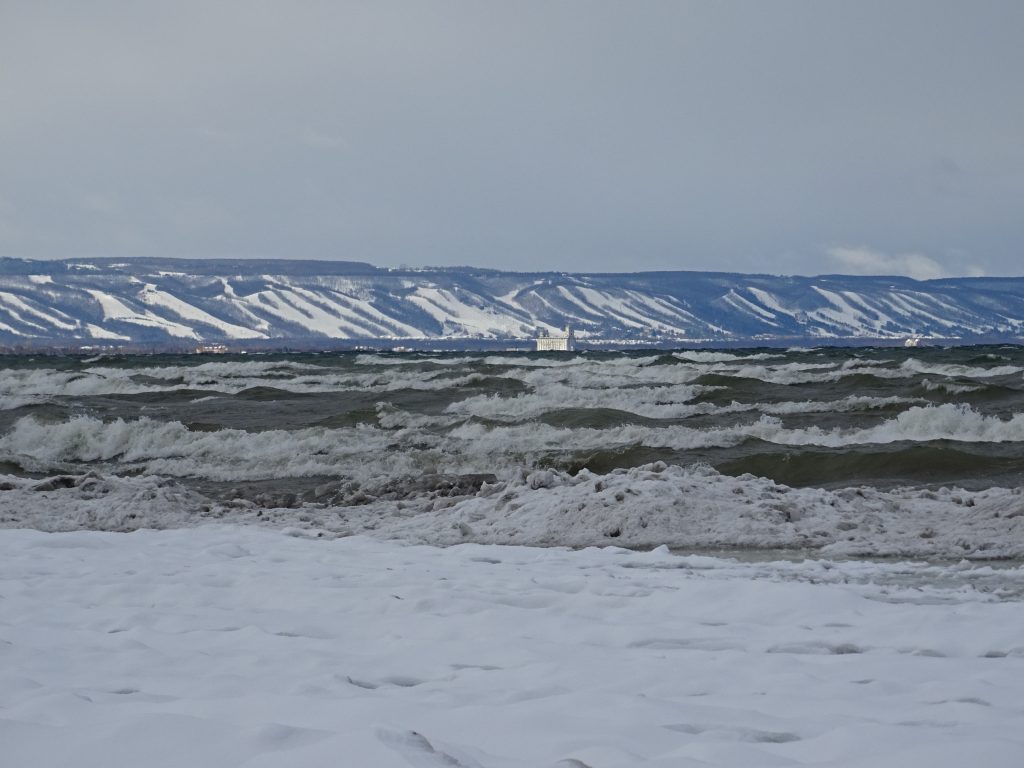
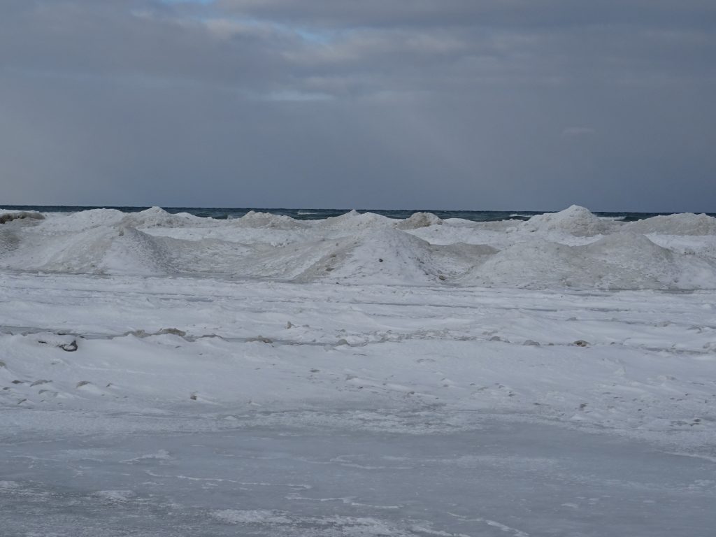
The picture below was taken on my way back looking towards Collingwood. You can see the ski runs on Blue Mountain. The large structure you see across the bay is the Collingwood Grain Terminal built in 1929. The waves were particularly high Wednesday as you can see below. Even though it was cold, I decided it would be a bad idea to get out on the ice and try for a better picture.
On Feburary 3rd I took a slightly different route, walking down to beach one and then walking north to the Nottawasaga River. Below is a picture of the Nancy Island Historic Site, closed for the season. You can read about Nancy Island here.
During the war of 1812, the British schooner Nancy was caught on Georgian Bay, and attacked by the Americans. The ship tried to retreat up the Nottawasaga rover but was sunk. The island actually formed around the hull of the ship. We’re certainly going to get there this summer for a tour.
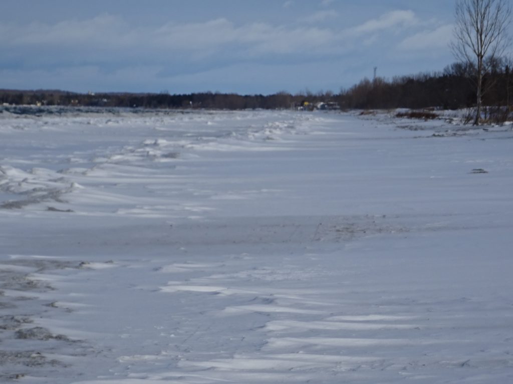
As much as I enjoy walking down the beach, I admit I’m getting tired of these strong, cold west winds. Walking from beach 3 to beach was was easy, but coming back into the wind was brutal. I had to walk backwards because my face kept getting dumb. The ice had crept out further from shore again with multiple layers of berms as you can see below.
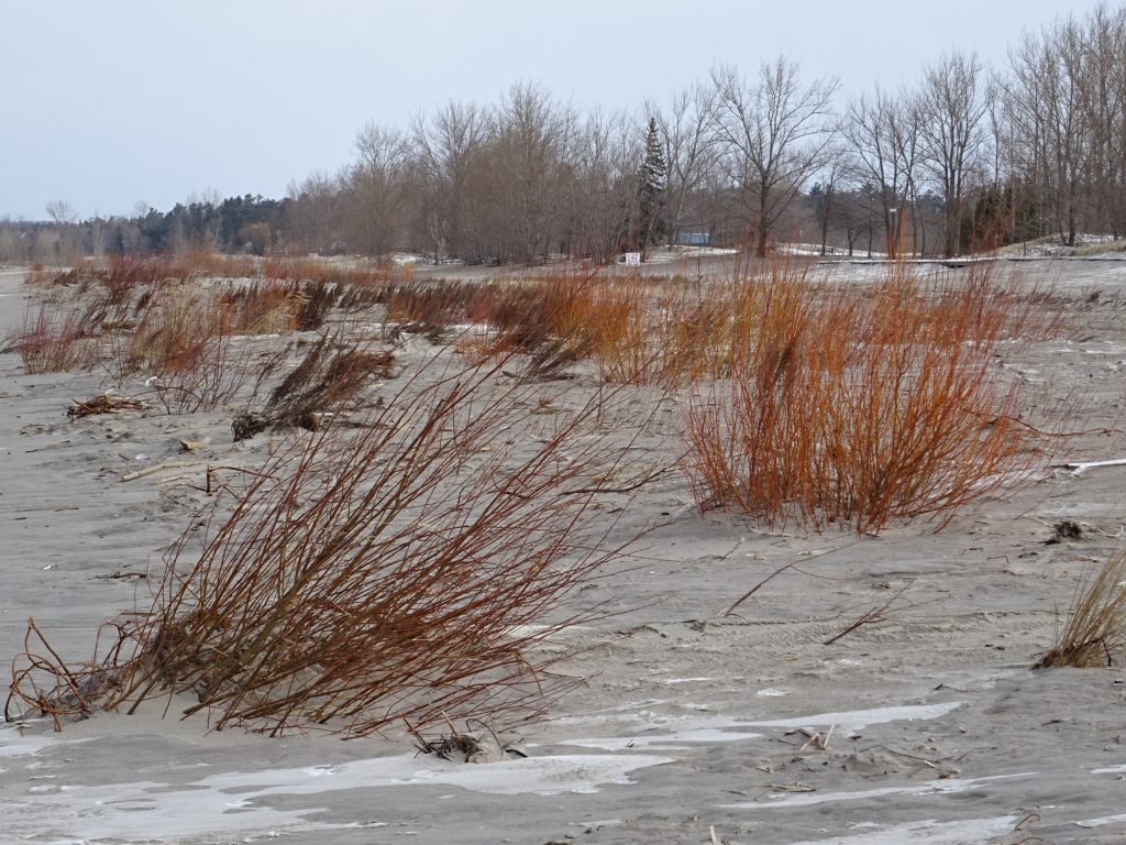
I walked a little further than I usually do towards the east. You can see some of the protected coastal vegetation and the second boardwalk to the east of the beach one pavilion in the background. It looks like sand below, but you’re seeing a thin layer of sand that has blown from the beach and sits on top of the snow.