Lots of storm activity this week. This is typical when the weather is above seasonal. Warmer than usual air translates into lots of snow!
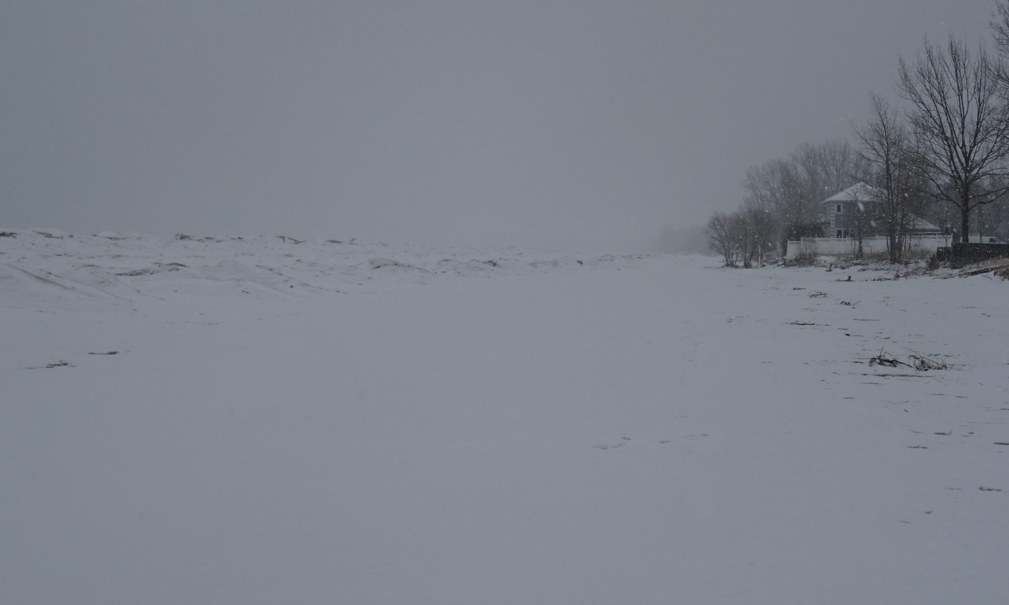
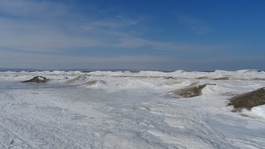
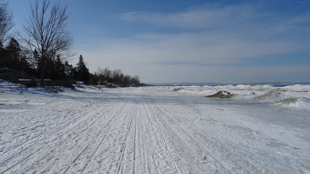
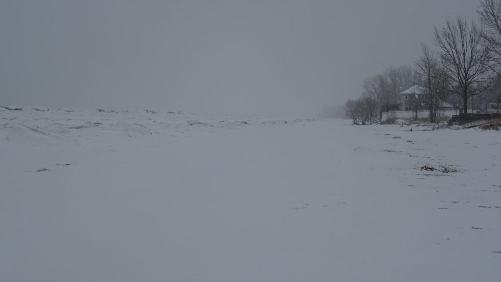
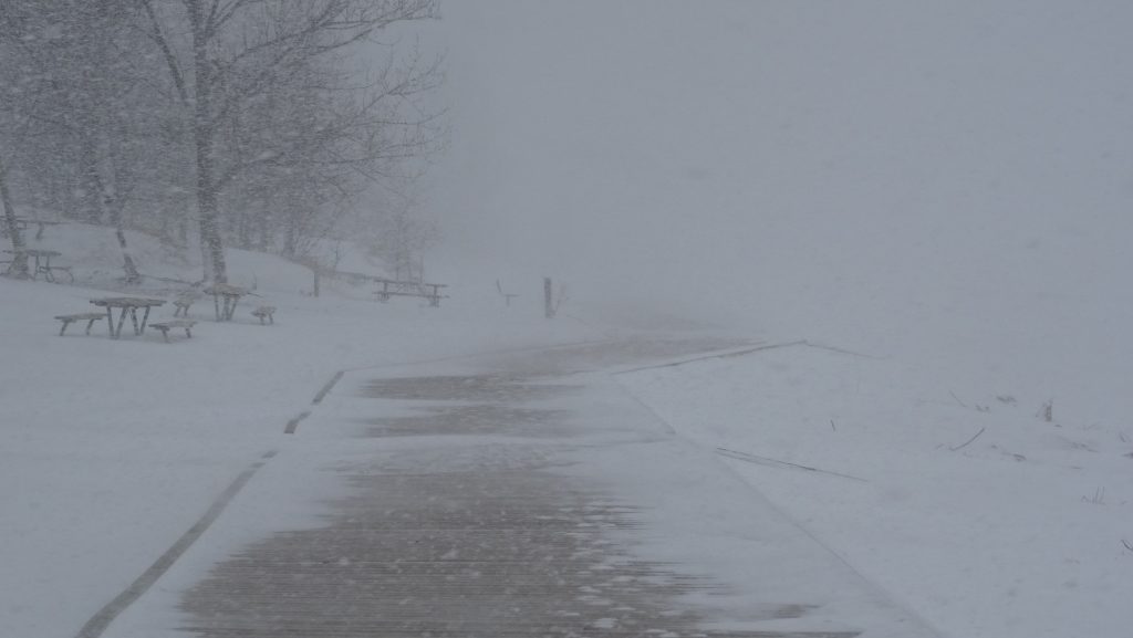
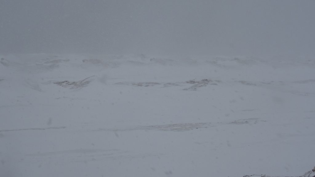
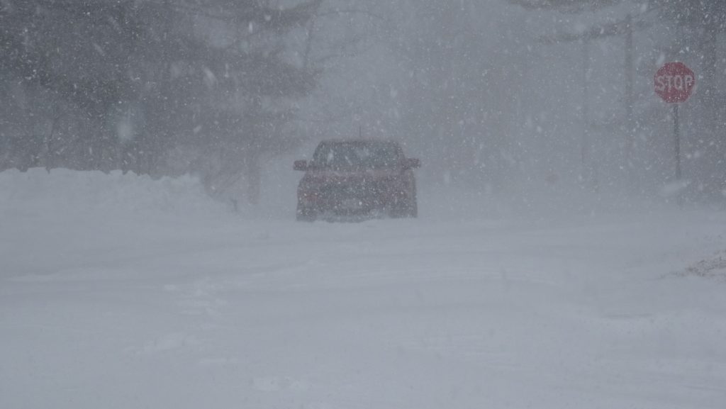
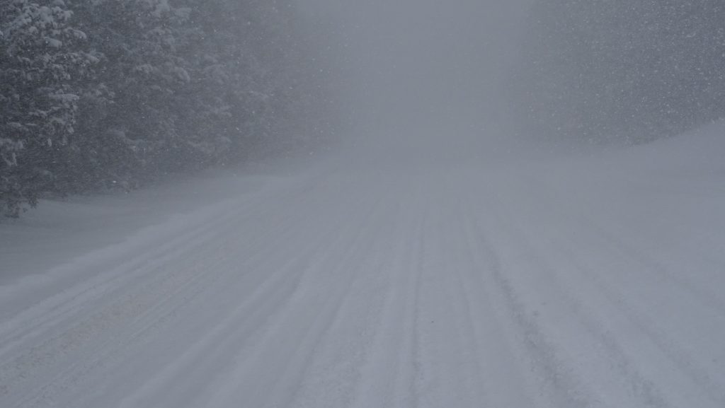
Sunday, February 23rd, 2019 – Looking west across the Nottawasaga Bay towards the Blue Mountains across lots of shore ice.Sunday, February 23rd, 2019 – The beach is a snowmobile super-highway this time of year.Wednesday, February 26th, 2020 – I got out around noon as the snow was starting but before it got too deep. It’s hard to walk any distance in even a few inches of fresh snow. I don’t think snow shoes would help given how light the snow is. Taken looking east from near 18th street.Friday, February 28th, 2020 – Today brought a lot more snow. Taken from the beach one boardwalk in near whiteout conditions. There were apparently record high waves on the Great Lakes, but unfortunately there was too much snow to see any distance.Friday, February 28th, 2020 – There is open water out there, and apparently record high waves, but I couldn’t see it from shore and had no desire to walk out on the ice today. The northwest winds were fierce.Friday, February 28th, 2020 – I decided against trying to drive into the parking lot today and parked at 5th street. The snow was up to my thighs in places where there was drifting at the 5th street lot.Friday, February 28th, 2020 – This looks like a snowmobile trail, but this is Golf Course Road on the way into Park Place at Wasaga Beach (where my parents are). this picture taken early afternoon Friday. I met half a dozen snowmobiles and I was the only car on the road.